 vesseltracker.com
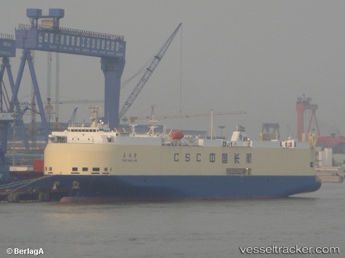
Chang Wang Long
Current StatusWhere is the vessel?
Chang Wang Long is currently in 32 nm S of Wukan, based on AIS data received about 1h ago.
Latest AIS update:
Current position: 22.33516° N, 115.76185° E (32 nm S of Wukan)
Average speed (last 7 days): Loading…
Average speed (last 30 days): Loading…
Vessel profile: Chang Wang Long is a Vehicles Carrier with dimensions 24m x 141m.
This page combines live AIS, route history, probable destination signals, nearby traffic, and port activity for practical vessel monitoring.
The current position of vessel Chang Wang Long is 22.33516 lat / 115.76185 lng. Updated: 2026-04-14 15:42:10 UTCNearest reference points:
- 16 nm S of Wukan
- Near Wukan
- 49 nm S of SHANWEI
Details:
Live Vessel Chang Wang Long Analytics (details, animations, etc.)
Recent AIS points (UTC):
2026-04-14 09:58:41 UTC · 22.73482, 116.94866 · SOG 12 kn · COG 248°2026-04-14 11:26:01 UTC · 22.62249, 116.65130 · SOG 12 kn · COG 264°
2026-04-14 13:17:41 UTC · 22.53195, 116.24989 · SOG 12 kn · COG 256°
2026-04-14 15:42:10 UTC · 22.33516, 115.76185 · SOG 13.1 kn · COG 252°