 vesseltracker.com
 Yinhehainandao
Current Status
Where is the vessel?
Yinhehainandao is currently in 13 nm N of Weihaiwei, based on AIS data received less than 1h ago.
Latest AIS update:
Current position: 37.77624° N, 122.09862° E (13 nm N of Weihaiwei)
Average speed (last 7 days): Loading…
Average speed (last 30 days): Loading…
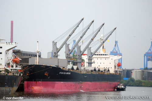
Vessel profile: Yinhehainandao is a Bulk Carrier with dimensions 190m x 32m.
This page combines live AIS, route history, probable destination signals, nearby traffic, and port activity for practical vessel monitoring.
The current position of vessel Yinhehainandao is 37.77624 lat / 122.09862 lng. Updated: 2026-04-12 06:50:34 UTCNearest reference points:
- Near Weihaiwei
- 26 nm N of Weihaiwei
- 28 nm N of Weihaiwei
Currently sailing under the flag of China ![]()
Details:
Live Vessel Yinhehainandao Analytics (details, animations, etc.)
Recent AIS points (UTC):
2026-04-10 03:55:28 UTC · 32.00897, 120.75426 · SOG 11.3 kn · COG 81°2026-04-10 05:44:23 UTC · 31.76512, 121.04776 · SOG 13 kn · COG 114°
2026-04-10 08:22:07 UTC · 31.43435, 121.48852 · SOG 9.2 kn · COG -1°
2026-04-12 06:50:34 UTC · 37.77624, 122.09862 · SOG 11.8 kn · COG 283°