 vesseltracker.com
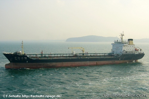
 HONGDAHAI10
Current Status
Where is the vessel?
HONGDAHAI10 is currently in Near Qianwan, based on AIS data received less than 1h ago.
Latest AIS update:
Current position: 36.06766° N, 120.21295° E (Near Qianwan)
Average speed (last 7 days): Loading…
Average speed (last 30 days): Loading…
Vessel profile: HONGDAHAI10 is a Tanker with dimensions m x m.
This page combines live AIS, route history, probable destination signals, nearby traffic, and port activity for practical vessel monitoring.
The current position of vessel HONGDAHAI10 is 36.06766 lat / 120.21295 lng. Updated: 2026-04-22 21:24:11 UTCNearest reference points:
- Near Qingdao
- Near Xianlang
- Near Jiaozhou
Currently sailing under the flag of China ![]()
Details:
Live Vessel HONGDAHAI10 Analytics (details, animations, etc.)
Recent AIS points (UTC):
2026-04-22 17:48:13 UTC · 36.06764, 120.21293 · SOG 0 kn · COG 200°2026-04-22 19:48:11 UTC · 36.06765, 120.21294 · SOG 0 kn · COG 200°
2026-04-22 19:51:17 UTC · 36.06764, 120.21294 · SOG 0 kn · COG 200°
2026-04-22 21:24:11 UTC · 36.06766, 120.21295 · SOG 0 kn · COG 200°