 vesseltracker.com
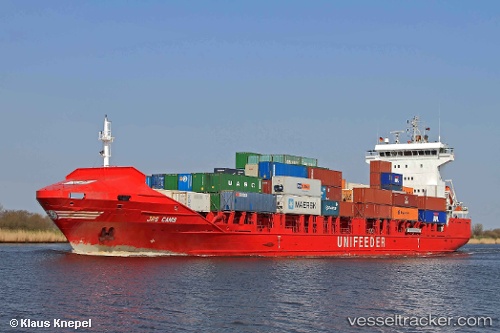
Hai Su 7
Current StatusWhere is the vessel?
Hai Su 7 is currently in 30 nm S of Guang'ao, based on AIS data received about 1h ago.
Latest AIS update:
Current position: 22.75526° N, 116.90061° E (30 nm S of Guang'ao)
Average speed (last 7 days): Loading…
Average speed (last 30 days): Loading…
Vessel profile: Hai Su 7 is a Container Ship with dimensions 21m x 130m.
This page combines live AIS, route history, probable destination signals, nearby traffic, and port activity for practical vessel monitoring.
The current position of vessel Hai Su 7 is 22.75526 lat / 116.90061 lng. Updated: 2026-03-30 17:28:57 UTCNearest reference points:
- 14 nm S of Guang'ao
- 24 nm SE of Jinghai
- 12 nm E of Jinghai
Details:
Live Vessel Hai Su 7 Analytics (details, animations, etc.)
Recent AIS points (UTC):
2026-03-30 12:23:25 UTC · 22.13630, 115.74455 · SOG 15 kn · COG 65°2026-03-30 13:26:51 UTC · 22.22134, 116.01547 · SOG 15.1 kn · COG 75°
2026-03-30 15:51:25 UTC · 22.57476, 116.52236 · SOG 15 kn · COG 58°
2026-03-30 17:28:57 UTC · 22.75526, 116.90061 · SOG 14 kn · COG 56°