 vesseltracker.com
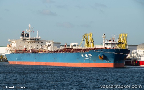
Yang Li Hu
Current StatusWhere is the vessel?
Yang Li Hu is currently in 376 nm S of Ehoala, based on AIS data received less than 1h ago.
Latest AIS update:
Current position: 30.94260° S, 49.39987° E (376 nm S of Ehoala)
Average speed (last 7 days): Loading…
Average speed (last 30 days): Loading…
Vessel profile: Yang Li Hu is a Crude Oil Tanker with dimensions 42m x 244m.
This page combines live AIS, route history, probable destination signals, nearby traffic, and port activity for practical vessel monitoring.
The current position of vessel Yang Li Hu is -30.94260 lat / 49.39987 lng. Updated: 2026-04-01 03:52:13 UTCNearest reference points:
- Open sea, approx. 406 nm off the nearest listed port
- Open sea, approx. 405 nm off the nearest listed port
- Open sea, approx. 413 nm off the nearest listed port
Details:
Live Vessel Yang Li Hu Analytics (details, animations, etc.)
Recent AIS points (UTC):
2026-03-31 21:59:21 UTC · -31.39332, 48.11677 · SOG 12.6 kn · COG 69°2026-04-01 00:11:00 UTC · -31.22112, 48.61442 · SOG 12.3 kn · COG 69°
2026-04-01 01:34:16 UTC · -31.11566, 48.91546 · SOG 11.6 kn · COG 66°
2026-04-01 03:52:13 UTC · -30.94260, 49.39987 · SOG 11.8 kn · COG 61°