 vesseltracker.com
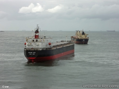
Tian Hao 17
Current StatusWhere is the vessel?
Tian Hao 17 is currently in 30 nm E of Wenling Longmen Port, based on AIS data received about 2h ago.
Latest AIS update:
Current position: 28.37981° N, 122.55653° E (30 nm E of Wenling Longmen Port)
Average speed (last 7 days): Loading…
Average speed (last 30 days): Loading…
Vessel profile: Tian Hao 17 is a Bulk Carrier with dimensions 32m x 225m.
This page combines live AIS, route history, probable destination signals, nearby traffic, and port activity for practical vessel monitoring.
The current position of vessel Tian Hao 17 is 28.37981 lat / 122.55653 lng. Updated: 2026-04-10 05:30:31 UTCNearest reference points:
- 42 nm E of Wenling Longmen Port
- 16 nm NE of Wenling Longmen Port
- 55 nm E of Wenling Longmen Port
Details:
Live Vessel Tian Hao 17 Analytics (details, animations, etc.)
Recent AIS points (UTC):
2026-04-09 23:27:45 UTC · 27.42920, 121.61845 · SOG 12.7 kn · COG 28°2026-04-10 01:48:53 UTC · 27.86272, 121.90920 · SOG 12.5 kn · COG 30°
2026-04-10 03:52:53 UTC · 28.15599, 122.25807 · SOG 12 kn · COG 56°
2026-04-10 05:30:31 UTC · 28.37981, 122.55653 · SOG 12.6 kn · COG -1°