 vesseltracker.com
 GUANG FA 29
Current Status
Where is the vessel?
GUANG FA 29 is currently in Near Dakar, based on AIS data received about 1d ago.
Latest AIS update:
Current position: 14.67668° N, 17.42647° W (Near Dakar)
Average speed (last 7 days): Loading…
Average speed (last 30 days): Loading…
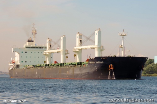
Vessel profile: GUANG FA 29 is a Bulk Carrier with dimensions 32m x 190m.
This page combines live AIS, route history, probable destination signals, nearby traffic, and port activity for practical vessel monitoring.
The current position of vessel GUANG FA 29 is 14.67668 lat / -17.42647 lng. Updated: 2026-04-10 08:04:09 UTCNearest reference points:
- Near Dakar
- Near Rufisque
- Near Banjul
Currently sailing under the flag of China Peopless Republic ![]()
GUANG FA 29 built in 2012 year
Deadweight:
57280 tDetails:
Live Vessel GUANG FA 29 Analytics (details, animations, etc.)
Recent AIS points (UTC):
2026-04-10 02:37:12 UTC · 14.67665, -17.42647 · SOG 0 kn · COG 200°2026-04-10 04:19:24 UTC · 14.67500, -17.42500 · SOG 0 kn · COG -1°
2026-04-10 05:22:26 UTC · 14.67667, -17.42500 · SOG 0 kn · COG -1°
2026-04-10 08:04:09 UTC · 14.67668, -17.42647 · SOG 0 kn · COG 200°