 vesseltracker.com
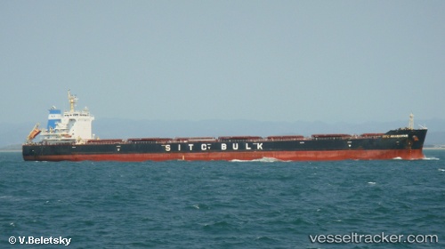
 XIN DONG GUAN 14
Current Status
Where is the vessel?
XIN DONG GUAN 14 is currently in 50 nm S of Hamtic, based on AIS data received less than 1h ago.
Latest AIS update:
Current position: 9.91827° N, 121.68925° E (50 nm S of Hamtic)
Average speed (last 7 days): Loading…
Average speed (last 30 days): Loading…
Vessel profile: XIN DONG GUAN 14 is a Bulk Carrier with dimensions 225m x 32m.
This page combines live AIS, route history, probable destination signals, nearby traffic, and port activity for practical vessel monitoring.
The current position of vessel XIN DONG GUAN 14 is 9.91827 lat / 121.68925 lng. Updated: 2026-04-23 05:56:36 UTCNearest reference points:
- Near Iloilo
- Near BACOLOD
- 17 nm SW of Bacong
Currently sailing under the flag of China Peopless Republic ![]()
XIN DONG GUAN 14 built in 2012 year
Deadweight:
76155 tDetails:
Live Vessel XIN DONG GUAN 14 Analytics (details, animations, etc.)
Recent AIS points (UTC):
2026-04-23 01:15:48 UTC · 9.09666, 121.42500 · SOG 11 kn · COG -1°2026-04-23 03:48:44 UTC · 9.52833, 121.62833 · SOG 11 kn · COG -1°
2026-04-23 04:57:44 UTC · 9.74500, 121.66167 · SOG 11 kn · COG -1°
2026-04-23 05:56:36 UTC · 9.91827, 121.68925 · SOG 11.1 kn · COG -1°