 vesseltracker.com
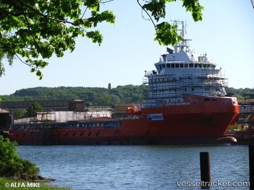
 GEO POWER
Current Status
Where is the vessel?
GEO POWER is currently in Near Tai-tung Kang, based on AIS data received about 1h ago.
Latest AIS update:
Current position: 24.28667° N, 120.52500° E (Near Tai-tung Kang)
Average speed (last 7 days): Loading…
Average speed (last 30 days): Loading…
Vessel profile: GEO POWER is a Other Type with dimensions m x m.
This page combines live AIS, route history, probable destination signals, nearby traffic, and port activity for practical vessel monitoring.
The current position of vessel GEO POWER is 24.28667 lat / 120.52500 lng. Updated: 2026-04-18 05:32:58 UTCNearest reference points:
- Near Tai-tung Kang
- Near TAICHUNG
- Near Miao-li
Currently sailing under the flag of Taiwan ![]()
Details:
Live Vessel GEO POWER Analytics (details, animations, etc.)
Recent AIS points (UTC):
2026-04-17 23:50:53 UTC · 24.28683, 120.52499 · SOG 0 kn · COG 259°2026-04-18 01:35:57 UTC · 24.28683, 120.52498 · SOG 0 kn · COG 260°
2026-04-18 03:48:04 UTC · 24.28667, 120.52500 · SOG 0 kn · COG -1°
2026-04-18 05:32:58 UTC · 24.28667, 120.52500 · SOG 0 kn · COG -1°