 vesseltracker.com
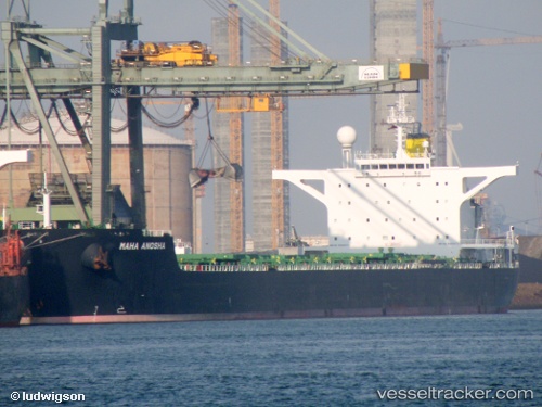
Maha Anosha
Current StatusWhere is the vessel?
Maha Anosha is currently in 50 nm SE of Souillac, based on AIS data received about 1h ago.
Latest AIS update:
Current position: 21.26277° S, 57.90435° E (50 nm SE of Souillac)
Average speed (last 7 days): Loading…
Average speed (last 30 days): Loading…
Vessel profile: Maha Anosha is a Bulk Carrier with dimensions 45m x 288m.
This page combines live AIS, route history, probable destination signals, nearby traffic, and port activity for practical vessel monitoring.
The current position of vessel Maha Anosha is -21.26277 lat / 57.90435 lng. Updated: 2026-03-28 10:02:35 UTCNearest reference points:
- Near Port Louis
- 61 nm NW of Al Azaiba
Details:
Live Vessel Maha Anosha Analytics (details, animations, etc.)
Recent AIS points (UTC):
2026-03-28 03:50:17 UTC · -21.86498, 56.86920 · SOG 10.9 kn · COG 52°2026-03-28 06:04:55 UTC · -21.64897, 57.24903 · SOG 11 kn · COG 50°
2026-03-28 07:37:19 UTC · -21.49429, 57.50932 · SOG 11 kn · COG 55°
2026-03-28 10:02:35 UTC · -21.26277, 57.90435 · SOG 10.5 kn · COG 57°