 vesseltracker.com
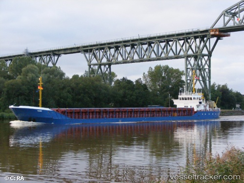
Mana
Current StatusWhere is the vessel?
Mana is currently in 50 nm W of Pernem, based on AIS data received about 12d ago.
Latest AIS update:
Current position: 16.00171° N, 72.98557° E (50 nm W of Pernem)
Average speed (last 7 days): Loading…
Average speed (last 30 days): Loading…
Vessel profile: Mana is a Offshore Tug Supply Ship with dimensions 16m x 74m.
This page combines live AIS, route history, probable destination signals, nearby traffic, and port activity for practical vessel monitoring.
The current position of vessel Mana is 16.00171 lat / 72.98557 lng. Updated: 2026-04-07 09:19:37 UTCNearest reference points:
- 49 nm W of Pernem
- Near Vasco da Gama
- 89 nm W of Marmagao (Marmugao)
Details:
Live Vessel Mana Analytics (details, animations, etc.)
Recent AIS points (UTC):
2026-04-07 09:19:37 UTC · 16.00171, 72.98557 · SOG 11.6 kn · COG 338°2026-04-07 09:19:37 UTC · 16.00171, 72.98557 · SOG 11.6 kn · COG 338°
2026-04-07 09:19:37 UTC · 16.00171, 72.98557 · SOG 11.6 kn · COG 338°