 vesseltracker.com
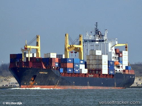
 SM MAHI
Current Status
Where is the vessel?
SM MAHI is currently in 27 nm N of Gross Koris, based on AIS data received about 1h ago.
Latest AIS update:
Current position: 14.10641° N, 52.23418° E (27 nm N of Gross Koris)
Average speed (last 7 days): Loading…
Average speed (last 30 days): Loading…
Vessel profile: SM MAHI is a Container Ship with dimensions 208m x 32m.
This page combines live AIS, route history, probable destination signals, nearby traffic, and port activity for practical vessel monitoring.
The current position of vessel SM MAHI is 14.10641 lat / 52.23418 lng. Updated: 2026-03-29 06:40:54 UTCNearest reference points:
- 110 nm NE of Gross Koris
- 106 nm S of Port Raysut
- 103 nm S of Port Raysut
Currently sailing under the flag of India ![]()
SM MAHI built in 2002 year
Deadweight:
35766 tDetails:
Live Vessel SM MAHI Analytics (details, animations, etc.)
Recent AIS points (UTC):
2026-03-29 00:18:46 UTC · 13.77076, 51.12819 · SOG 12.3 kn · COG 83°2026-03-29 04:12:23 UTC · 13.94770, 51.72913 · SOG 12.5 kn · COG 81°
2026-03-29 06:12:24 UTC · 14.08060, 52.13557 · SOG 12.3 kn · COG 79°
2026-03-29 06:40:54 UTC · 14.10641, 52.23418 · SOG 12.5 kn · COG 73°