 vesseltracker.com
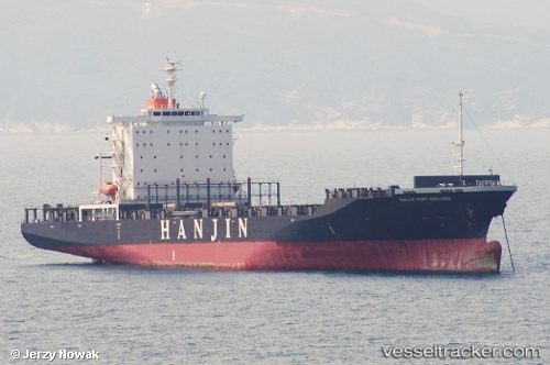
 SSL KAVERI
Current Status
Where is the vessel?
SSL KAVERI is currently in Near Sharjah, based on AIS data received about 1h ago.
Latest AIS update:
Current position: 25.47828° N, 55.27327° E (Near Sharjah)
Average speed (last 7 days): Loading…
Average speed (last 30 days): Loading…
Vessel profile: SSL KAVERI is a Container Ship with dimensions m x m.
This page combines live AIS, route history, probable destination signals, nearby traffic, and port activity for practical vessel monitoring.
The current position of vessel SSL KAVERI is 25.47828 lat / 55.27327 lng. Updated: 2026-04-19 01:58:54 UTCNearest reference points:
- Near Sharjah
- Near AJMAN
- Near Mina Khalid
Currently sailing under the flag of India ![]()
Details:
Live Vessel SSL KAVERI Analytics (details, animations, etc.)
Recent AIS points (UTC):
2026-04-18 20:16:23 UTC · 25.47728, 55.27085 · SOG 0 kn · COG 119°2026-04-18 22:22:43 UTC · 25.47715, 55.27060 · SOG 0 kn · COG 122°
2026-04-19 00:23:24 UTC · 25.47852, 55.27220 · SOG 0 kn · COG 178°
2026-04-19 01:58:54 UTC · 25.47828, 55.27327 · SOG 0 kn · COG 211°