 vesseltracker.com
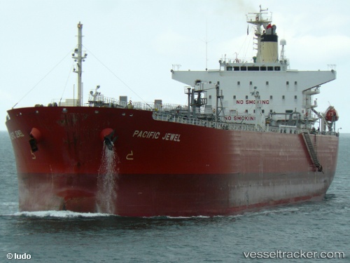
 MISSION
Current Status
Where is the vessel?
MISSION is currently in 49 nm W of Air Parcel Sorting Office/Mumbai, based on AIS data received about 11d ago.
Latest AIS update:
Current position: 18.64700° N, 71.98055° E (49 nm W of Air Parcel Sorting Office/Mumbai)
Average speed (last 7 days): Loading…
Average speed (last 30 days): Loading…
Vessel profile: MISSION is a Crude Oil Tanker with dimensions m x m.
This page combines live AIS, route history, probable destination signals, nearby traffic, and port activity for practical vessel monitoring.
The current position of vessel MISSION is 18.64700 lat / 71.98055 lng. Updated: 2026-04-07 09:12:55 UTCNearest reference points:
- Near Mumbai
- Near HNB SEZ/Mumbai
- Near NHAVA SHEVA
Currently sailing under the flag of India ![]()
Details:
Live Vessel MISSION Analytics (details, animations, etc.)
Recent AIS points (UTC):
2026-04-07 07:38:34 UTC · 18.85457, 72.12743 · SOG 9.9 kn · COG 215°2026-04-07 09:12:55 UTC · 18.64700, 71.98055 · SOG 5.5 kn · COG 236°
2026-04-07 09:12:55 UTC · 18.64700, 71.98055 · SOG 5.5 kn · COG 236°
2026-04-07 09:12:55 UTC · 18.64700, 71.98055 · SOG 5.5 kn · COG 236°