 vesseltracker.com
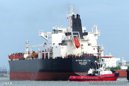
 MARIA GLORY
Current Status
Where is the vessel?
MARIA GLORY is currently in 84 nm N of Colomadu, based on AIS data received less than 1h ago.
Latest AIS update:
Current position: 8.92628° N, 110.75911° E (84 nm N of Colomadu)
Average speed (last 7 days): Loading…
Average speed (last 30 days): Loading…
Vessel profile: MARIA GLORY is a Oil/Chemical Tanker with dimensions m x m.
This page combines live AIS, route history, probable destination signals, nearby traffic, and port activity for practical vessel monitoring.
The current position of vessel MARIA GLORY is 8.92628 lat / 110.75911 lng. Updated: 2026-04-18 18:03:32 UTCNearest reference points:
- 156 nm SE of Phan Rang-Tháp Chàm
- 163 nm E of Vinh Cam Ranh
- 142 nm N of Pulau Lang Lang
Currently sailing under the flag of India ![]()
Details:
Live Vessel MARIA GLORY Analytics (details, animations, etc.)
Recent AIS points (UTC):
2026-04-18 11:31:31 UTC · 8.09512, 109.79648 · SOG 11.7 kn · COG 47°2026-04-18 12:55:21 UTC · 8.29493, 109.98921 · SOG 11.7 kn · COG 45°
2026-04-18 15:25:12 UTC · 8.61491, 110.35709 · SOG 11.4 kn · COG 53°
2026-04-18 18:03:32 UTC · 8.92628, 110.75911 · SOG 11.3 kn · COG 53°