 vesseltracker.com
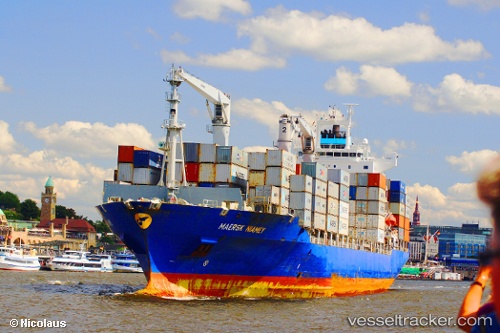
 CMA CGM MANAUS
Current Status
Where is the vessel?
CMA CGM MANAUS is currently in 24 nm S of Fateh Terminal, based on AIS data received less than 1h ago.
Latest AIS update:
Current position: 25.20604° N, 54.52052° E (24 nm S of Fateh Terminal)
Average speed (last 7 days): Loading…
Average speed (last 30 days): Loading…
Vessel profile: CMA CGM MANAUS is a Container Ship with dimensions m x m.
This page combines live AIS, route history, probable destination signals, nearby traffic, and port activity for practical vessel monitoring.
The current position of vessel CMA CGM MANAUS is 25.20604 lat / 54.52052 lng. Updated: 2026-04-21 02:35:51 UTCNearest reference points:
- 11 nm SW of Fateh Terminal
- 16 nm NW of Jebel Ali
- 12 nm NW of Jebel Ali
Currently sailing under the flag of India ![]()
Details:
Live Vessel CMA CGM MANAUS Analytics (details, animations, etc.)
Recent AIS points (UTC):
2026-04-20 22:56:31 UTC · 25.20492, 54.52010 · SOG 0 kn · COG -1°2026-04-20 23:56:06 UTC · 25.20534, 54.52014 · SOG 0 kn · COG -1°
2026-04-21 01:19:43 UTC · 25.20601, 54.52049 · SOG 0 kn · COG 137°
2026-04-21 02:35:51 UTC · 25.20604, 54.52052 · SOG 0 kn · COG 138°