 vesseltracker.com
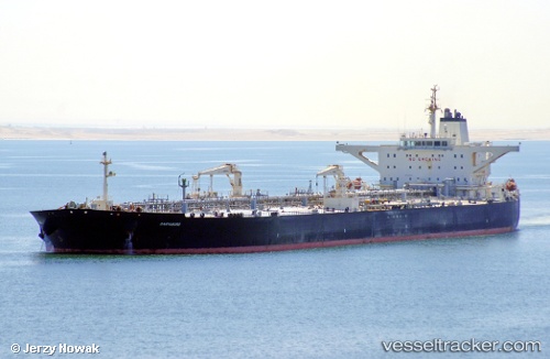
 COMPASS
Current Status
Where is the vessel?
COMPASS is currently in 186 nm NW of Amini Island, based on AIS data received less than 1h ago.
Latest AIS update:
Current position: 13.73346° N, 71.03724° E (186 nm NW of Amini Island)
Average speed (last 7 days): Loading…
Average speed (last 30 days): Loading…
Vessel profile: COMPASS is a Tanker with dimensions m x m.
This page combines live AIS, route history, probable destination signals, nearby traffic, and port activity for practical vessel monitoring.
The current position of vessel COMPASS is 13.73346 lat / 71.03724 lng. Updated: 2026-04-17 23:46:20 UTCNearest reference points:
- 202 nm NW of Amini Island
- 89 nm W of Marmagao (Marmugao)
- 198 nm N of Tinaquillo
Currently sailing under the flag of India ![]()
Details:
Live Vessel COMPASS Analytics (details, animations, etc.)
Recent AIS points (UTC):
2026-04-17 18:25:10 UTC · 14.49536, 70.23427 · SOG 12.3 kn · COG 130°2026-04-17 19:24:02 UTC · 14.35123, 70.38085 · SOG 12.3 kn · COG 133°
2026-04-17 21:40:10 UTC · 14.03069, 70.72797 · SOG 11.8 kn · COG 132°
2026-04-17 23:46:20 UTC · 13.73346, 71.03724 · SOG 12 kn · COG 137°