 vesseltracker.com
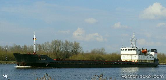
Kasma
Current StatusWhere is the vessel?
Kasma is currently in Near Kuryk, based on AIS data received about 1h ago.
Latest AIS update:
Current position: 43.13815° N, 51.61250° E (Near Kuryk)
Average speed (last 7 days): Loading…
Average speed (last 30 days): Loading…
Vessel profile: Kasma is a Multi Purpose Carrier with dimensions 13m x 116m.
This page combines live AIS, route history, probable destination signals, nearby traffic, and port activity for practical vessel monitoring.
The current position of vessel Kasma is 43.13815 lat / 51.61250 lng. Updated: 2026-04-20 00:18:28 UTCNearest reference points:
- 29 nm SW of Kuryk
- 24 nm W of Kuryk
- 12 nm S of Aktau
Details:
Live Vessel Kasma Analytics (details, animations, etc.)
Recent AIS points (UTC):
2026-04-19 21:21:16 UTC · 43.13866, 51.61207 · SOG 0 kn · COG 251°2026-04-19 22:21:30 UTC · 43.13832, 51.61231 · SOG 0.4 kn · COG 265°
2026-04-19 23:54:23 UTC · 43.13820, 51.61243 · SOG 0.1 kn · COG 269°
2026-04-20 00:18:28 UTC · 43.13815, 51.61250 · SOG 0 kn · COG 274°