 vesseltracker.com
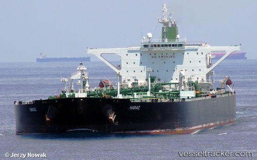
Amber
Current StatusWhere is the vessel?
Amber is currently in 90 nm S of Nagercoil, based on AIS data received about 2d ago.
Latest AIS update:
Current position: 6.67827° N, 77.28145° E (90 nm S of Nagercoil)
Average speed (last 7 days): Loading…
Average speed (last 30 days): Loading…
Vessel profile: Amber is a Vehicles Carrier with dimensions 60m x 333m.
This page combines live AIS, route history, probable destination signals, nearby traffic, and port activity for practical vessel monitoring.
The current position of vessel Amber is 6.67827 lat / 77.28145 lng. Updated: 2026-04-07 02:43:44 UTCNearest reference points:
- 91 nm S of Nagercoil
- 98 nm S of Nagercoil
- 41 nm S of Nagercoil
Details:
Live Vessel Amber Analytics (details, animations, etc.)
Recent AIS points (UTC):
2026-04-06 12:13:51 UTC · 5.91782, 80.22424 · SOG 8.5 kn · COG 280°2026-04-07 02:43:44 UTC · 6.67827, 77.28145 · SOG 12.3 kn · COG 287°
2026-04-07 02:43:44 UTC · 6.67827, 77.28145 · SOG 12.3 kn · COG 287°
2026-04-07 02:43:44 UTC · 6.67827, 77.28145 · SOG 12.3 kn · COG 287°