 vesseltracker.com
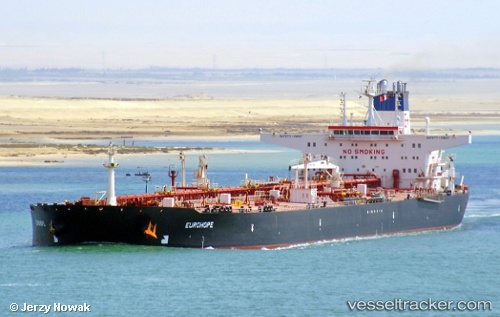
 SAM 121
Current Status
Where is the vessel?
SAM 121 is currently in 19 nm NE of Al Gurdagah, based on AIS data received about 1001d ago.
Latest AIS update:
Current position: 27.41546° N, 34.14698° E (19 nm NE of Al Gurdagah)
Average speed (last 7 days): Loading…
Average speed (last 30 days): Loading…
Vessel profile: SAM 121 is a Crude Oil Tanker with dimensions 274m x 48m.
This page combines live AIS, route history, probable destination signals, nearby traffic, and port activity for practical vessel monitoring.
The current position of vessel SAM 121 is 27.41546 lat / 34.14698 lng. Updated: 2023-07-12 23:32:24 UTCNearest reference points:
- 19 nm SE of Zeit Bay
- Near El-Guna (El Gouna)
- Near Bur Safaga
Currently sailing under the flag of Iran ![]()
SAM 121 built in 1999 year
Deadweight:
159539 tDetails:
Live Vessel SAM 121 Analytics (details, animations, etc.)
Recent AIS points (UTC):
2023-07-12 23:32:24 UTC · 27.41546, 34.14698 · SOG 10.1 kn · COG 141°