 vesseltracker.com
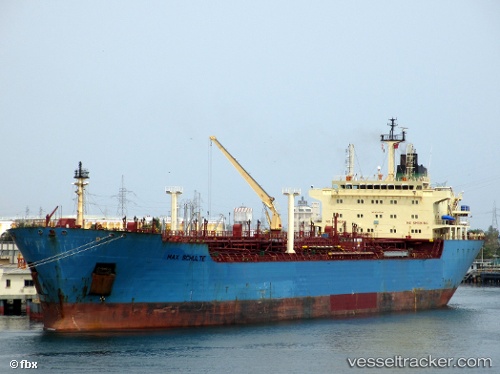
 GOLROO
Current Status
Where is the vessel?
GOLROO is currently in 65 nm NE of Bardiyah, based on AIS data received about 54d ago.
Latest AIS update:
Current position: 32.72156° N, 25.69418° E (65 nm NE of Bardiyah)
Average speed (last 7 days): Loading…
Average speed (last 30 days): Loading…
Vessel profile: GOLROO is a Crude Oil Tanker with dimensions 171m x 27m.
This page combines live AIS, route history, probable destination signals, nearby traffic, and port activity for practical vessel monitoring.
The current position of vessel GOLROO is 32.72156 lat / 25.69418 lng. Updated: 2026-02-07 06:11:45 UTCNearest reference points:
- 67 nm S of Kali Limenes
- 91 nm SE of Polychnitos Lesvou
- Near Kali Limenes
Currently sailing under the flag of Iran ![]()
GOLROO built in 1999 year
Deadweight:
34987 tDetails:
Live Vessel GOLROO Analytics (details, animations, etc.)
Recent AIS points (UTC):
2026-02-07 06:11:45 UTC · 32.72156, 25.69418 · SOG 9.9 kn · COG -1°