 vesseltracker.com
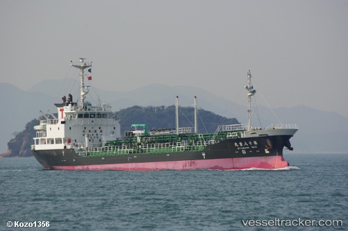
Miya Maru No.18
Current StatusWhere is the vessel?
Miya Maru No.18 is currently in 21 nm SE of HARAMACHI, based on AIS data received about 1h ago.
Latest AIS update:
Current position: 37.35500° N, 141.24333° E (21 nm SE of HARAMACHI)
Average speed (last 7 days): Loading…
Average speed (last 30 days): Loading…
Vessel profile: Miya Maru No.18 is a Oil Products Tanker with dimensions 12m x 80m.
This page combines live AIS, route history, probable destination signals, nearby traffic, and port activity for practical vessel monitoring.
The current position of vessel Miya Maru No.18 is 37.35500 lat / 141.24333 lng. Updated: 2026-04-20 02:16:07 UTCNearest reference points:
- 18 nm SE of Minamisoma
- 33 nm SE of HARAMACHI
- 32 nm NE of ONAHAMA
Details:
Live Vessel Miya Maru No.18 Analytics (details, animations, etc.)
Recent AIS points (UTC):
2026-04-19 22:34:11 UTC · 36.60167, 141.02333 · SOG 11 kn · COG -1°2026-04-19 23:10:08 UTC · 36.71833, 141.03500 · SOG 12 kn · COG -1°
2026-04-20 01:31:09 UTC · 37.20667, 141.18167 · SOG 12 kn · COG -1°
2026-04-20 02:16:07 UTC · 37.35500, 141.24333 · SOG 12 kn · COG -1°