 vesseltracker.com
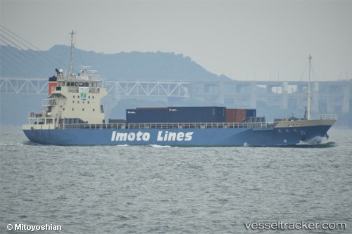
 Tamon
Tamon
Current Status
Where is the vessel?
Tamon is currently in Near KIKUMA, based on AIS data received about 2h ago.
Latest AIS update:
Current position: 34.05115° N, 132.69177° E (Near KIKUMA)
Average speed (last 7 days): Loading…
Average speed (last 30 days): Loading…
Vessel profile: Tamon is a General Cargo Ship with dimensions 77m x 77m.
This page combines live AIS, route history, probable destination signals, nearby traffic, and port activity for practical vessel monitoring.
The current position of vessel Tamon is 34.05115 lat / 132.69177 lng. Updated: 2026-03-29 07:37:55 UTCNearest reference points:
- Near TSUWAJI
- Near Kure
- Near Yoshiumi
Currently sailing under the flag of Japan ![]()
Details:
Live Vessel Tamon Analytics (details, animations, etc.)
Recent AIS points (UTC):
2026-03-28 01:16:42 UTC · 34.04387, 131.78082 · SOG 1.3 kn · COG -1°2026-03-29 01:55:52 UTC · 33.92638, 131.79593 · SOG 11.6 kn · COG 139°
2026-03-29 05:31:25 UTC · 33.83195, 132.28722 · SOG 11.3 kn · COG 90°
2026-03-29 07:37:55 UTC · 34.05115, 132.69177 · SOG 12 kn · COG 63°