 vesseltracker.com
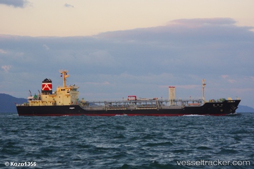
Wakou Maru
Current StatusWhere is the vessel?
Wakou Maru is currently in Near TAKAHAMA, based on AIS data received about 1d ago.
Latest AIS update:
Current position: 33.95356° N, 132.74471° E (Near TAKAHAMA)
Average speed (last 7 days): Loading…
Average speed (last 30 days): Loading…
Vessel profile: Wakou Maru is a Oil Products Tanker with dimensions 16m x 104m.
This page combines live AIS, route history, probable destination signals, nearby traffic, and port activity for practical vessel monitoring.
The current position of vessel Wakou Maru is 33.95356 lat / 132.74471 lng. Updated: 2026-04-10 08:11:54 UTCNearest reference points:
- Near TSUWAJI
- Near Kure
- Near Yoshiumi
Details:
Live Vessel Wakou Maru Analytics (details, animations, etc.)
Recent AIS points (UTC):
2026-04-10 01:48:16 UTC · 33.95168, 132.74529 · SOG 0.1 kn · COG 310°2026-04-10 03:53:57 UTC · 33.95298, 132.74519 · SOG 0.1 kn · COG 208°
2026-04-10 05:26:57 UTC · 33.95276, 132.74561 · SOG 0 kn · COG 237°
2026-04-10 08:11:54 UTC · 33.95356, 132.74471 · SOG 0.1 kn · COG 166°