 vesseltracker.com
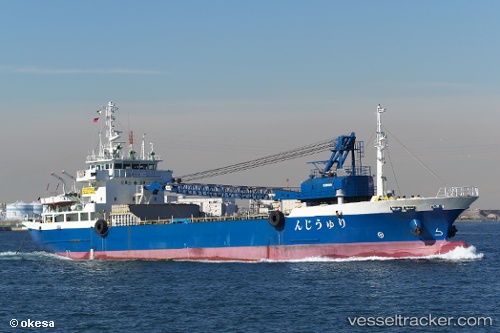
Ryujin
Current StatusWhere is the vessel?
Ryujin is currently in 11 nm SW of HIKARI, based on AIS data received less than 1h ago.
Latest AIS update:
Current position: 33.78267° N, 131.82956° E (11 nm SW of HIKARI)
Average speed (last 7 days): Loading…
Average speed (last 30 days): Loading…
Vessel profile: Ryujin is a Aggregates Carrier with dimensions 15m x 81m.
This page combines live AIS, route history, probable destination signals, nearby traffic, and port activity for practical vessel monitoring.
The current position of vessel Ryujin is 33.78267 lat / 131.82956 lng. Updated: 2026-04-13 15:55:40 UTCNearest reference points:
- 14 nm SW of HIKARI
- 13 nm S of HIKARI
- Near Tokuyama
Details:
Live Vessel Ryujin Analytics (details, animations, etc.)
Recent AIS points (UTC):
2026-04-13 09:41:50 UTC · 34.31206, 133.02391 · SOG 10.8 kn · COG 248°2026-04-13 11:38:09 UTC · 34.10548, 132.72743 · SOG 11.4 kn · COG 241°
2026-04-13 14:07:00 UTC · 33.83430, 132.25307 · SOG 12.4 kn · COG 267°
2026-04-13 15:55:40 UTC · 33.78267, 131.82956 · SOG 11.7 kn · COG 281°