 vesseltracker.com
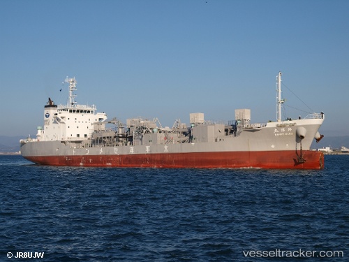
Hanyo Maru
Current StatusWhere is the vessel?
Hanyo Maru is currently in Near AKASHI, based on AIS data received less than 1h ago.
Latest AIS update:
Current position: 34.58348° N, 134.90689° E (Near AKASHI)
Average speed (last 7 days): Loading…
Average speed (last 30 days): Loading…
Vessel profile: Hanyo Maru is a Cement Carrier with dimensions 19m x 115m.
This page combines live AIS, route history, probable destination signals, nearby traffic, and port activity for practical vessel monitoring.
The current position of vessel Hanyo Maru is 34.58348 lat / 134.90689 lng. Updated: 2026-04-19 06:00:52 UTCNearest reference points:
- Near AKASHI
- Near Awaji
- Near HIGASHIHARIMA
Details:
Live Vessel Hanyo Maru Analytics (details, animations, etc.)
Recent AIS points (UTC):
2026-04-18 23:47:18 UTC · 34.29018, 133.37390 · SOG 12.7 kn · COG 105°2026-04-19 02:08:04 UTC · 34.40124, 133.91341 · SOG 12.5 kn · COG 64°
2026-04-19 03:53:28 UTC · 34.39645, 134.36143 · SOG 13.3 kn · COG 76°
2026-04-19 06:00:52 UTC · 34.58348, 134.90689 · SOG 16.7 kn · COG 58°