 vesseltracker.com
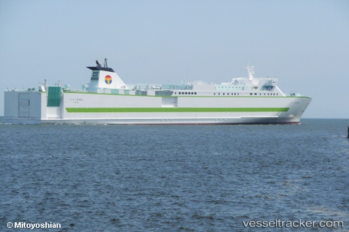
Ferry Ritsurin
Current StatusWhere is the vessel?
Ferry Ritsurin is currently in Near OKAMURA, based on AIS data received about 1h ago.
Latest AIS update:
Current position: 34.12173° N, 132.86826° E (Near OKAMURA)
Average speed (last 7 days): Loading…
Average speed (last 30 days): Loading…
Vessel profile: Ferry Ritsurin is a Passenger Ro Ro Cargo Ship with dimensions 27m x 191m.
This page combines live AIS, route history, probable destination signals, nearby traffic, and port activity for practical vessel monitoring.
The current position of vessel Ferry Ritsurin is 34.12173 lat / 132.86826 lng. Updated: 2026-04-23 05:58:51 UTCNearest reference points:
- Near Yoshiumi
- Near TSUWAJI
- Near HAKATASHIMA
Details:
Live Vessel Ferry Ritsurin Analytics (details, animations, etc.)
Recent AIS points (UTC):
2026-04-23 01:23:37 UTC · 33.80997, 131.40681 · SOG 18.6 kn · COG 102°2026-04-23 04:02:07 UTC · 33.73611, 132.33623 · SOG 17.9 kn · COG 66°
2026-04-23 04:56:20 UTC · 33.88276, 132.60738 · SOG 18 kn · COG 43°
2026-04-23 05:58:51 UTC · 34.12173, 132.86826 · SOG 19.3 kn · COG 42°