 vesseltracker.com
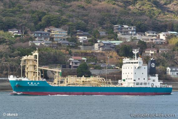
 Houmanzan Maru
Current Status
Where is the vessel?
Houmanzan Maru is currently in Near Amagasaki, based on AIS data received about 2h ago.
Latest AIS update:
Current position: 34.65261° N, 135.32082° E (Near Amagasaki)
Average speed (last 7 days): Loading…
Average speed (last 30 days): Loading…
Vessel profile: Houmanzan Maru is a Cement Carrier with dimensions 84m x 14m.
This page combines live AIS, route history, probable destination signals, nearby traffic, and port activity for practical vessel monitoring.
The current position of vessel Houmanzan Maru is 34.65261 lat / 135.32082 lng. Updated: 2026-04-02 21:25:39 UTCNearest reference points:
- Near Nada-Ku, Hyogo
- Near Kobe
- Near SAKAI
Currently sailing under the flag of Japan ![]()
Details:
Live Vessel Houmanzan Maru Analytics (details, animations, etc.)
Recent AIS points (UTC):
2026-04-02 16:01:43 UTC · 34.65283, 135.32079 · SOG 0.1 kn · COG 95°2026-04-02 18:13:41 UTC · 34.65239, 135.32086 · SOG 0 kn · COG 54°
2026-04-02 19:34:41 UTC · 34.65267, 135.32076 · SOG 0 kn · COG 81°
2026-04-02 21:25:39 UTC · 34.65261, 135.32082 · SOG 0 kn · COG 74°