 vesseltracker.com
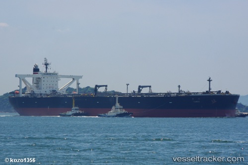
 Tango
Tango
Current Status
Where is the vessel?
Tango is currently in 197 nm E of Abakaliki, based on AIS data received about 7h ago.
Latest AIS update:
Current position: 5.48989° N, 89.18572° E (197 nm E of Abakaliki)
Average speed (last 7 days): Loading…
Average speed (last 30 days): Loading…
Vessel profile: Tango is a Crude Oil Tanker with dimensions 333m x 60m.
This page combines live AIS, route history, probable destination signals, nearby traffic, and port activity for practical vessel monitoring.
The current position of vessel Tango is 5.48989 lat / 89.18572 lng. Updated: 2026-04-10 04:47:17 UTCNearest reference points:
- 243 nm E of Abakaliki
Currently sailing under the flag of Japan ![]()
Tango built in 2009 year
Deadweight:
301662 tDetails:
Live Vessel Tango Analytics (details, animations, etc.)
Recent AIS points (UTC):
2026-04-09 19:07:37 UTC · 5.36633, 89.22966 · SOG 0.7 kn · COG 108°2026-04-09 19:07:37 UTC · 5.36633, 89.22966 · SOG 0.7 kn · COG 108°
2026-04-10 04:47:17 UTC · 5.48989, 89.18572 · SOG 0.9 kn · COG 83°
2026-04-10 04:47:17 UTC · 5.48989, 89.18572 · SOG 0.9 kn · COG 83°