 vesseltracker.com
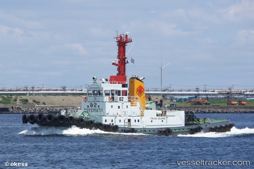
Take Maru No82
Current StatusWhere is the vessel?
Take Maru No82 is currently in Near Minato-Ku, Osaka, based on AIS data received less than 1h ago.
Latest AIS update:
Current position: 34.64781° N, 135.46539° E (Near Minato-Ku, Osaka)
Average speed (last 7 days): Loading…
Average speed (last 30 days): Loading…
Vessel profile: Take Maru No82 is a Tug with dimensions 10m x 42m.
This page combines live AIS, route history, probable destination signals, nearby traffic, and port activity for practical vessel monitoring.
The current position of vessel Take Maru No82 is 34.64781 lat / 135.46539 lng. Updated: 2026-04-21 01:49:04 UTCNearest reference points:
- Near SAKAI
- Near Nada-Ku, Hyogo
- Near Kobe
Details:
Live Vessel Take Maru No82 Analytics (details, animations, etc.)
Recent AIS points (UTC):
2026-04-20 21:36:13 UTC · 34.64782, 135.46538 · SOG 0 kn · COG 1°2026-04-20 22:39:44 UTC · 34.64783, 135.46539 · SOG 0 kn · COG 359°
2026-04-21 00:26:14 UTC · 34.64787, 135.46539 · SOG 0 kn · COG 0°
2026-04-21 01:49:04 UTC · 34.64781, 135.46539 · SOG 0 kn · COG 0°