 vesseltracker.com
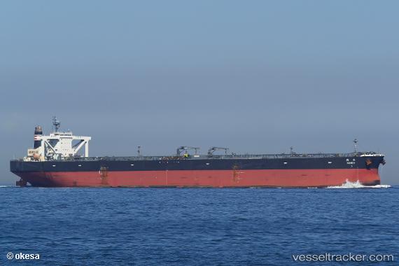
Takaoka
Current StatusWhere is the vessel?
Takaoka is currently in Near Chimu Wan, based on AIS data received less than 1h ago.
Latest AIS update:
Current position: 26.37872° N, 127.96547° E (Near Chimu Wan)
Average speed (last 7 days): Loading…
Average speed (last 30 days): Loading…
Vessel profile: Takaoka is a Crude Oil Tanker with dimensions 60m x 333m.
This page combines live AIS, route history, probable destination signals, nearby traffic, and port activity for practical vessel monitoring.
The current position of vessel Takaoka is 26.37872 lat / 127.96547 lng. Updated: 2026-03-30 05:30:51 UTCNearest reference points:
- 18 nm W of Koniya
- 77 nm SE of Miyakojima
Details:
Live Vessel Takaoka Analytics (details, animations, etc.)
Recent AIS points (UTC):
2026-03-29 23:28:55 UTC · 26.37865, 127.96546 · SOG 0 kn · COG 225°2026-03-30 02:36:27 UTC · 26.37869, 127.96544 · SOG 0 kn · COG 225°
2026-03-30 04:07:36 UTC · 26.37874, 127.96544 · SOG 0 kn · COG 225°
2026-03-30 05:30:51 UTC · 26.37872, 127.96547 · SOG 0 kn · COG 225°