 vesseltracker.com
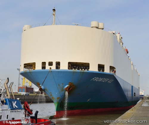
 FRONTIER ACE
Current Status
Where is the vessel?
FRONTIER ACE is currently in Near Brunswick, based on AIS data received less than 1h ago.
Latest AIS update:
Current position: 31.11816° N, 81.49038° W (Near Brunswick)
Average speed (last 7 days): Loading…
Average speed (last 30 days): Loading…
Vessel profile: FRONTIER ACE is a Vehicles Carrier with dimensions m x m.
This page combines live AIS, route history, probable destination signals, nearby traffic, and port activity for practical vessel monitoring.
The current position of vessel FRONTIER ACE is 31.11816 lat / -81.49038 lng. Updated: 2026-04-20 03:46:01 UTCNearest reference points:
- Near Brunswick
- Near Fernandina
- Near Jacksonville
Currently sailing under the flag of Japan ![]()
Details:
Live Vessel FRONTIER ACE Analytics (details, animations, etc.)
Recent AIS points (UTC):
2026-04-20 00:02:17 UTC · 31.13086, -81.53271 · SOG 0 kn · COG 110°2026-04-20 01:17:16 UTC · 31.13087, -81.53272 · SOG 0.1 kn · COG 110°
2026-04-20 01:35:17 UTC · 31.13088, -81.53272 · SOG 0 kn · COG 110°
2026-04-20 03:46:01 UTC · 31.11816, -81.49038 · SOG 10.4 kn · COG 112°