 vesseltracker.com
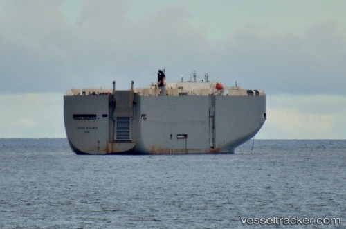
 Texas Highway
Current Status
Where is the vessel?
Texas Highway is currently in Near Linnton, based on AIS data received less than 1h ago.
Latest AIS update:
Current position: 45.59734° N, 122.77474° W (Near Linnton)
Average speed (last 7 days): Loading…
Average speed (last 30 days): Loading…
Vessel profile: Texas Highway is a Vehicles Carrier with dimensions 199m x 199m.
This page combines live AIS, route history, probable destination signals, nearby traffic, and port activity for practical vessel monitoring.
The current position of vessel Texas Highway is 45.59734 lat / -122.77474 lng. Updated: 2026-04-07 01:31:34 UTCNearest reference points:
- Near Linnton
- Near LONGVIEW
- Near Astoria
Currently sailing under the flag of Japan ![]()
Texas Highway built in 2003 year
Deadweight:
17481 tDetails:
Live Vessel Texas Highway Analytics (details, animations, etc.)
Recent AIS points (UTC):
2026-04-06 19:22:03 UTC · 46.25771, -123.55374 · SOG 13.5 kn · COG 85°2026-04-06 22:17:34 UTC · 46.07014, -122.88884 · SOG 12.3 kn · COG 155°
2026-04-06 23:33:42 UTC · 45.83745, -122.78937 · SOG 13.2 kn · COG 202°
2026-04-07 01:31:34 UTC · 45.59734, -122.77474 · SOG 0 kn · COG 330°