 vesseltracker.com
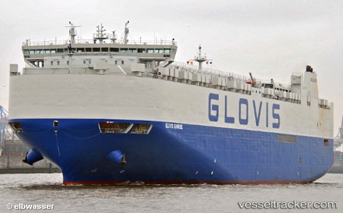
 GLOVIS SUNRISE
Current Status
Where is the vessel?
GLOVIS SUNRISE is currently in 48 nm S of Port Saint John's, based on AIS data received less than 1h ago.
Latest AIS update:
Current position: 32.38598° S, 29.18938° E (48 nm S of Port Saint John's)
Average speed (last 7 days): Loading…
Average speed (last 30 days): Loading…
Vessel profile: GLOVIS SUNRISE is a Cargo with dimensions m x m.
This page combines live AIS, route history, probable destination signals, nearby traffic, and port activity for practical vessel monitoring.
The current position of vessel GLOVIS SUNRISE is -32.38598 lat / 29.18938 lng. Updated: 2026-04-23 06:07:56 UTCNearest reference points:
- 23 nm E of Port Saint John's
- Near Island View
Currently sailing under the flag of South Korea ![]()
Details:
Live Vessel GLOVIS SUNRISE Analytics (details, animations, etc.)
Recent AIS points (UTC):
2026-04-22 23:32:06 UTC · -31.55981, 30.09039 · SOG 14.1 kn · COG 227°2026-04-23 03:40:47 UTC · -32.16308, 29.42483 · SOG 6.8 kn · COG 216°
2026-04-23 04:20:10 UTC · -32.22117, 29.36397 · SOG 6.6 kn · COG 216°
2026-04-23 06:07:56 UTC · -32.38598, 29.18938 · SOG 8.3 kn · COG 216°