 vesseltracker.com
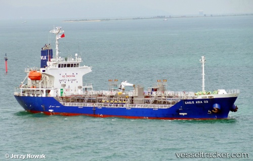
 JN RUBY
Current Status
Where is the vessel?
JN RUBY is currently in 30 nm SW of Kukdo, based on AIS data received about 5h ago.
Latest AIS update:
Current position: 34.08083° N, 128.18449° E (30 nm SW of Kukdo)
Average speed (last 7 days): Loading…
Average speed (last 30 days): Loading…
Vessel profile: JN RUBY is a Tanker with dimensions m x m.
This page combines live AIS, route history, probable destination signals, nearby traffic, and port activity for practical vessel monitoring.
The current position of vessel JN RUBY is 34.08083 lat / 128.18449 lng. Updated: 2026-04-10 07:27:12 UTCNearest reference points:
- 25 nm S of Kukdo
- 35 nm E of Geomundo
- 15 nm S of Kukdo
Currently sailing under the flag of South Korea ![]()
Details:
Live Vessel JN RUBY Analytics (details, animations, etc.)
Recent AIS points (UTC):
2026-04-10 01:52:34 UTC · 34.86469, 127.79500 · SOG 0.8 kn · COG 293°2026-04-10 03:55:01 UTC · 34.58318, 127.94125 · SOG 10.7 kn · COG 162°
2026-04-10 05:37:54 UTC · 34.32982, 128.07104 · SOG 9.5 kn · COG 168°
2026-04-10 07:27:12 UTC · 34.08083, 128.18449 · SOG 8.6 kn · COG -1°