 vesseltracker.com
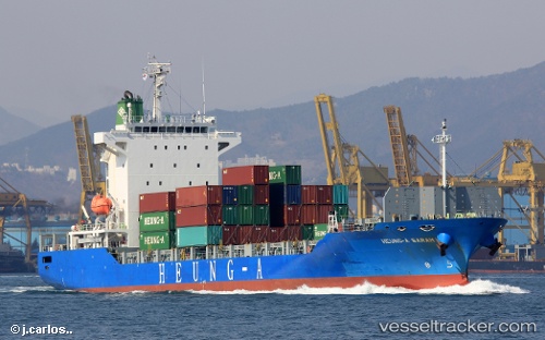
 HEUNG A SARAH
Current Status
Where is the vessel?
HEUNG A SARAH is currently in 26 nm SW of Kukdo, based on AIS data received less than 1h ago.
Latest AIS update:
Current position: 34.33722° N, 127.96740° E (26 nm SW of Kukdo)
Average speed (last 7 days): Loading…
Average speed (last 30 days): Loading…
Vessel profile: HEUNG A SARAH is a Cargo with dimensions m x m.
This page combines live AIS, route history, probable destination signals, nearby traffic, and port activity for practical vessel monitoring.
The current position of vessel HEUNG A SARAH is 34.33722 lat / 127.96740 lng. Updated: 2026-04-02 21:27:09 UTCNearest reference points:
- 15 nm SE of Boseong-gun
- 13 nm SE of Boseong-gun
- 35 nm E of Geomundo
Currently sailing under the flag of South Korea ![]()
Details:
Live Vessel HEUNG A SARAH Analytics (details, animations, etc.)
Recent AIS points (UTC):
2026-04-02 16:03:58 UTC · 34.94427, 129.10352 · SOG 12.3 kn · COG 204°2026-04-02 18:15:13 UTC · 34.61341, 128.73325 · SOG 12.8 kn · COG 231°
2026-04-02 19:33:06 UTC · 34.46619, 128.44884 · SOG 13.4 kn · COG -1°
2026-04-02 21:27:09 UTC · 34.33722, 127.96740 · SOG 13.7 kn · COG -1°