 vesseltracker.com
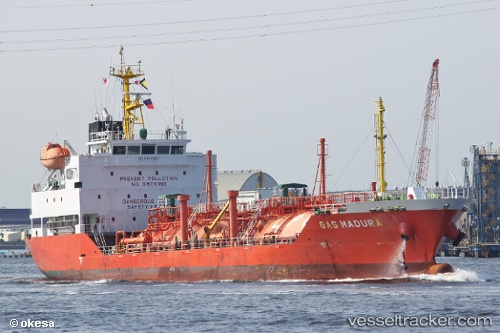
 Shining Road
Current Status
Where is the vessel?
Shining Road is currently in Near DAESAN, based on AIS data received less than 1h ago.
Latest AIS update:
Current position: 37.05112° N, 126.38775° E (Near DAESAN)
Average speed (last 7 days): Loading…
Average speed (last 30 days): Loading…
Vessel profile: Shining Road is a Lpg Tanker with dimensions 97m x 17m.
This page combines live AIS, route history, probable destination signals, nearby traffic, and port activity for practical vessel monitoring.
The current position of vessel Shining Road is 37.05112 lat / 126.38775 lng. Updated: 2026-04-17 23:50:29 UTCNearest reference points:
- Near DAESAN
- 10 nm N of DAESAN
- 14 nm SW of Incheon
Currently sailing under the flag of Korea ![]()
Details:
Live Vessel Shining Road Analytics (details, animations, etc.)
Recent AIS points (UTC):
2026-04-17 18:02:27 UTC · 37.05205, 126.39027 · SOG 0.1 kn · COG 245°2026-04-17 20:20:28 UTC · 37.05182, 126.39007 · SOG 0 kn · COG 246°
2026-04-17 21:41:30 UTC · 37.05095, 126.38797 · SOG 0.1 kn · COG 57°
2026-04-17 23:50:29 UTC · 37.05112, 126.38775 · SOG 0.1 kn · COG 65°