 vesseltracker.com
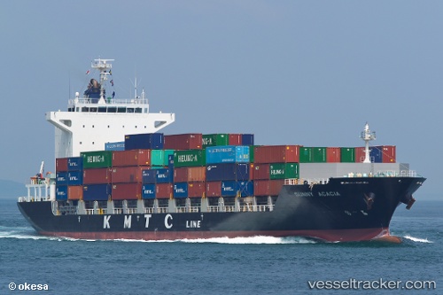
 SUNNY ACACIA
Current Status
Where is the vessel?
SUNNY ACACIA is currently in 30 nm SE of Jinghai, based on AIS data received about 2h ago.
Latest AIS update:
Current position: 22.69220° N, 116.70649° E (30 nm SE of Jinghai)
Average speed (last 7 days): Loading…
Average speed (last 30 days): Loading…
Vessel profile: SUNNY ACACIA is a Cargo with dimensions m x m.
This page combines live AIS, route history, probable destination signals, nearby traffic, and port activity for practical vessel monitoring.
The current position of vessel SUNNY ACACIA is 22.69220 lat / 116.70649 lng. Updated: 2026-04-22 23:57:23 UTCNearest reference points:
- 24 nm SE of Jinghai
- 24 nm S of Jinghai
- 12 nm E of Jinghai
Currently sailing under the flag of South Korea ![]()
Details:
Live Vessel SUNNY ACACIA Analytics (details, animations, etc.)
Recent AIS points (UTC):
2026-04-22 19:30:17 UTC · 22.31533, 115.64132 · SOG 15 kn · COG 79°2026-04-22 21:23:53 UTC · 22.43256, 116.12745 · SOG 14.5 kn · COG 60°
2026-04-22 22:12:05 UTC · 22.51644, 116.31335 · SOG 14.3 kn · COG 65°
2026-04-22 23:57:23 UTC · 22.69220, 116.70649 · SOG 13.8 kn · COG 34°