 vesseltracker.com
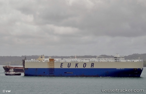
 MORNING CELLO
Current Status
Where is the vessel?
MORNING CELLO is currently in 24 nm SW of Nootka, based on AIS data received less than 1h ago.
Latest AIS update:
Current position: 49.23109° N, 126.88629° W (24 nm SW of Nootka)
Average speed (last 7 days): Loading…
Average speed (last 30 days): Loading…
Vessel profile: MORNING CELLO is a Vehicles Carrier with dimensions m x m.
This page combines live AIS, route history, probable destination signals, nearby traffic, and port activity for practical vessel monitoring.
The current position of vessel MORNING CELLO is 49.23109 lat / -126.88629 lng. Updated: 2026-04-20 14:02:08 UTCNearest reference points:
- Near PORT HARDY
- 21 nm NW of Tatoosh Island
- 29 nm NW of Coal Harbour
Currently sailing under the flag of South Korea ![]()
Details:
Live Vessel MORNING CELLO Analytics (details, animations, etc.)
Recent AIS points (UTC):
2026-04-20 10:46:59 UTC · 49.22161, -126.94079 · SOG 0.4 kn · COG 137°2026-04-20 11:36:12 UTC · 49.22311, -126.93281 · SOG 0.2 kn · COG 151°
2026-04-20 13:25:47 UTC · 49.23012, -126.90325 · SOG 0.8 kn · COG 176°
2026-04-20 14:02:08 UTC · 49.23109, -126.88629 · SOG 1 kn · COG 199°