 vesseltracker.com
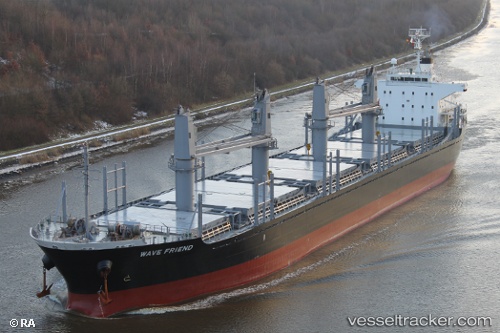
 KHARIS TRINITY
Current Status
Where is the vessel?
KHARIS TRINITY is currently in 89 nm N of Port Hedland, based on AIS data received less than 1h ago.
Latest AIS update:
Current position: 18.86993° S, 119.00477° E (89 nm N of Port Hedland)
Average speed (last 7 days): Loading…
Average speed (last 30 days): Loading…
Vessel profile: KHARIS TRINITY is a Bulk Carrier with dimensions 170m x 27m.
This page combines live AIS, route history, probable destination signals, nearby traffic, and port activity for practical vessel monitoring.
The current position of vessel KHARIS TRINITY is -18.86993 lat / 119.00477 lng. Updated: 2026-03-29 05:43:34 UTCNearest reference points:
- 116 nm NE of Mutineer
- 121 nm NE of Mutineer
- 133 nm W of Broome
Currently sailing under the flag of Korea (Republic of) ![]()
KHARIS TRINITY built in 2010 year
Deadweight:
28368 tDetails:
Live Vessel KHARIS TRINITY Analytics (details, animations, etc.)
Recent AIS points (UTC):
2026-03-28 23:48:29 UTC · -19.77497, 118.56029 · SOG 11.9 kn · COG 23°2026-03-29 00:32:00 UTC · -19.64433, 118.62594 · SOG 12 kn · COG 25°
2026-03-29 03:30:47 UTC · -19.27852, 118.80299 · SOG 12.4 kn · COG 24°
2026-03-29 05:43:34 UTC · -18.86993, 119.00477 · SOG 12.1 kn · COG 28°