 vesseltracker.com
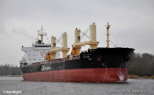
Ch Clare
Current StatusWhere is the vessel?
Ch Clare is currently in 24 nm W of Alaminos, based on AIS data received less than 1h ago.
Latest AIS update:
Current position: 16.10328° N, 119.55178° E (24 nm W of Alaminos)
Average speed (last 7 days): Loading…
Average speed (last 30 days): Loading…
Vessel profile: Ch Clare is a Bulk Carrier with dimensions 28m x 178m.
This page combines live AIS, route history, probable destination signals, nearby traffic, and port activity for practical vessel monitoring.
The current position of vessel Ch Clare is 16.10328 lat / 119.55178 lng. Updated: 2026-04-02 23:51:56 UTCNearest reference points:
- 34 nm W of Iba
- 22 nm W of Salomague
- 19 nm SW of MARIVELES
Details:
Live Vessel Ch Clare Analytics (details, animations, etc.)
Recent AIS points (UTC):
2026-04-02 17:24:01 UTC · 15.23128, 119.68573 · SOG 8.2 kn · COG 350°2026-04-02 19:40:32 UTC · 15.53958, 119.62560 · SOG 8 kn · COG 350°
2026-04-02 21:55:52 UTC · 15.83983, 119.57972 · SOG 8.3 kn · COG 350°
2026-04-02 23:51:56 UTC · 16.10328, 119.55178 · SOG 8.3 kn · COG -1°