 vesseltracker.com
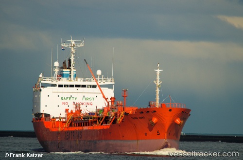
Marigold
Current StatusWhere is the vessel?
Marigold is currently in Near Map Ta Phut, based on AIS data received less than 1h ago.
Latest AIS update:
Current position: 12.67330° N, 101.14702° E (Near Map Ta Phut)
Average speed (last 7 days): Loading…
Average speed (last 30 days): Loading…
Vessel profile: Marigold is a Chemical Oil Products Tanker with dimensions 19m x 130m.
This page combines live AIS, route history, probable destination signals, nearby traffic, and port activity for practical vessel monitoring.
The current position of vessel Marigold is 12.67330 lat / 101.14702 lng. Updated: 2026-04-19 23:58:18 UTCNearest reference points:
- 11 nm S of Map Ta Phut
- Near SATTAHIP
- Near Tips Container Terminal
Details:
Live Vessel Marigold Analytics (details, animations, etc.)
Recent AIS points (UTC):
2026-04-19 19:40:13 UTC · 12.67329, 101.14704 · SOG 0 kn · COG 90°2026-04-19 22:01:14 UTC · 12.67329, 101.14705 · SOG 0 kn · COG 92°
2026-04-19 22:55:14 UTC · 12.67329, 101.14703 · SOG 0 kn · COG 90°
2026-04-19 23:58:18 UTC · 12.67330, 101.14702 · SOG 0 kn · COG 90°