 vesseltracker.com
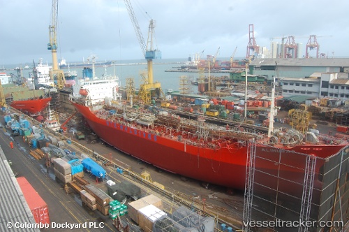
 ALIHURAS
Current Status
Where is the vessel?
ALIHURAS is currently in Near Hulhulé Island, based on AIS data received less than 1h ago.
Latest AIS update:
Current position: 4.18538° N, 73.51864° E (Near Hulhulé Island)
Average speed (last 7 days): Loading…
Average speed (last 30 days): Loading…
Vessel profile: ALIHURAS is a Oil/Chemical Tanker with dimensions m x m.
This page combines live AIS, route history, probable destination signals, nearby traffic, and port activity for practical vessel monitoring.
The current position of vessel ALIHURAS is 4.18538 lat / 73.51864 lng. Updated: 2026-03-30 11:27:49 UTCNearest reference points:
- Near Maamigili Port
Currently sailing under the flag of Maldives ![]()
Details:
Live Vessel ALIHURAS Analytics (details, animations, etc.)
Recent AIS points (UTC):
2026-03-30 06:19:52 UTC · 4.05398, 73.34547 · SOG 10 kn · COG 331°2026-03-30 08:09:20 UTC · 4.19367, 73.50378 · SOG 5.6 kn · COG 67°
2026-03-30 09:50:20 UTC · 4.18537, 73.51877 · SOG 0 kn · COG 239°
2026-03-30 11:27:49 UTC · 4.18538, 73.51864 · SOG 0 kn · COG 237°