 vesseltracker.com
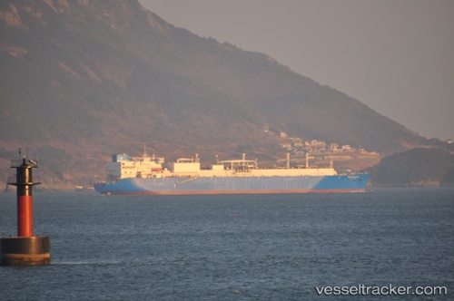
 VALERA
Current Status
Where is the vessel?
VALERA is currently in 98 nm NE of Dung Quat Petroleum Port, based on AIS data received about 6h ago.
Latest AIS update:
Current position: 16.36578° N, 110.19071° E (98 nm NE of Dung Quat Petroleum Port)
Average speed (last 7 days): Loading…
Average speed (last 30 days): Loading…
Vessel profile: VALERA is a Lng Tanker with dimensions m x m.
This page combines live AIS, route history, probable destination signals, nearby traffic, and port activity for practical vessel monitoring.
The current position of vessel VALERA is 16.36578 lat / 110.19071 lng. Updated: 2026-04-17 16:30:41 UTCNearest reference points:
- 157 nm SE of Xincun
- 23 nm E of Hai Son
- Near DUNG QUAT
Currently sailing under the flag of Oman ![]()
Details:
Live Vessel VALERA Analytics (details, animations, etc.)
Recent AIS points (UTC):
2026-04-17 15:25:16 UTC · 16.59895, 110.08478 · SOG 14.3 kn · COG -1°2026-04-17 16:30:41 UTC · 16.36578, 110.19071 · SOG 14.8 kn · COG -1°
2026-04-17 16:30:41 UTC · 16.36578, 110.19071 · SOG 14.8 kn · COG -1°
2026-04-17 16:30:41 UTC · 16.36578, 110.19071 · SOG 14.8 kn · COG -1°