 vesseltracker.com
 LEVEL
LEVEL
Current Status
Where is the vessel?
LEVEL is currently in 12 nm SE of Eastbourne, based on AIS data received less than 1h ago.
Latest AIS update:
Current position: 50.61273° N, 0.47129° E (12 nm SE of Eastbourne)
Average speed (last 7 days): Loading…
Average speed (last 30 days): Loading…
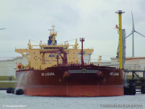
Vessel profile: LEVEL is a Crude Oil Tanker with dimensions m x m.
This page combines live AIS, route history, probable destination signals, nearby traffic, and port activity for practical vessel monitoring.
The current position of vessel LEVEL is 50.61273 lat / 0.47129 lng. Updated: 2026-04-21 06:24:10 UTCNearest reference points:
- Near Saint Leonards-on-Sea
- 23 nm S of Poling
- 27 nm S of Seaford
Currently sailing under the flag of Oman ![]()
Details:
Live Vessel LEVEL Analytics (details, animations, etc.)
Recent AIS points (UTC):
2026-04-21 01:42:44 UTC · 51.16034, 1.63717 · SOG 10 kn · COG 228°2026-04-21 03:32:45 UTC · 50.96403, 1.27875 · SOG 10.8 kn · COG 224°
2026-04-21 04:15:49 UTC · 50.86673, 1.10650 · SOG 12.1 kn · COG 235°
2026-04-21 06:24:10 UTC · 50.61273, 0.47129 · SOG 14.2 kn · COG 254°