 vesseltracker.com
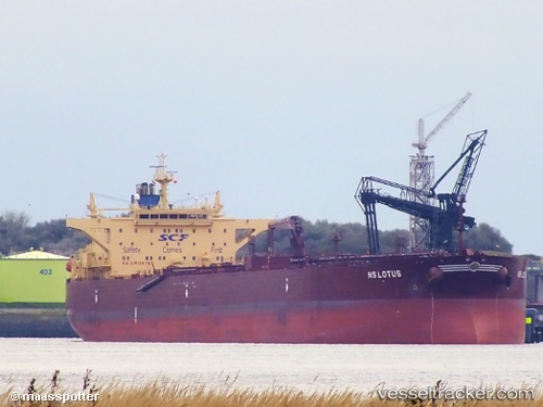
 LAVENDER
Current Status
Where is the vessel?
LAVENDER is currently in 51 nm E of Longyan Pt, based on AIS data received about 1h ago.
Latest AIS update:
Current position: 37.61849° N, 123.68266° E (51 nm E of Longyan Pt)
Average speed (last 7 days): Loading…
Average speed (last 30 days): Loading…
Vessel profile: LAVENDER is a Crude Oil Tanker with dimensions m x m.
This page combines live AIS, route history, probable destination signals, nearby traffic, and port activity for practical vessel monitoring.
The current position of vessel LAVENDER is 37.61849 lat / 123.68266 lng. Updated: 2026-04-05 19:25:36 UTCNearest reference points:
- 54 nm E of Longyan Pt
- 34 nm E of Longyan Pt
- 54 nm W of Yonggipo
Currently sailing under the flag of Oman ![]()
Details:
Live Vessel LAVENDER Analytics (details, animations, etc.)
Recent AIS points (UTC):
2026-04-05 14:13:36 UTC · 37.62329, 123.67894 · SOG 0 kn · COG 136°2026-04-05 16:10:32 UTC · 37.61903, 123.68131 · SOG 0 kn · COG 22°
2026-04-05 16:40:34 UTC · 37.61882, 123.68185 · SOG 0 kn · COG 7°
2026-04-05 19:25:36 UTC · 37.61849, 123.68266 · SOG 0.1 kn · COG 332°