 vesseltracker.com
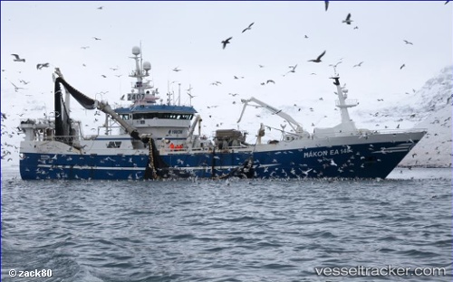
 VIKING 1
Current Status
Where is the vessel?
VIKING 1 is currently in Near Luanda, based on AIS data received about 1d ago.
Latest AIS update:
Current position: 8.73599° S, 13.30053° E (Near Luanda)
Average speed (last 7 days): Loading…
Average speed (last 30 days): Loading…
Vessel profile: VIKING 1 is a Trawler with dimensions m x m.
This page combines live AIS, route history, probable destination signals, nearby traffic, and port activity for practical vessel monitoring.
The current position of vessel VIKING 1 is -8.73599 lat / 13.30053 lng. Updated: 2026-04-10 07:11:35 UTCNearest reference points:
- Near Luanda
- Near Greater Plutonio
Currently sailing under the flag of Oman ![]()
Details:
Live Vessel VIKING 1 Analytics (details, animations, etc.)
Recent AIS points (UTC):
2026-04-10 02:23:41 UTC · -8.73577, 13.30176 · SOG 0 kn · COG 249°2026-04-10 03:47:05 UTC · -8.73558, 13.30139 · SOG 0 kn · COG 185°
2026-04-10 05:57:34 UTC · -8.73595, 13.30063 · SOG 0 kn · COG 108°
2026-04-10 07:11:35 UTC · -8.73599, 13.30053 · SOG 0 kn · COG 100°