 vesseltracker.com
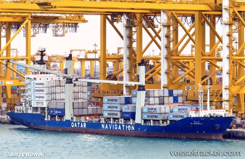
 Al Rumeila
Current Status
Where is the vessel?
Al Rumeila is currently in 19 nm E of RAS LAFFAN, based on AIS data received about 1d ago.
Latest AIS update:
Current position: 25.87118° N, 51.97389° E (19 nm E of RAS LAFFAN)
Average speed (last 7 days): Loading…
Average speed (last 30 days): Loading…
Vessel profile: Al Rumeila is a Container Ship with dimensions 145m x 22m.
This page combines live AIS, route history, probable destination signals, nearby traffic, and port activity for practical vessel monitoring.
The current position of vessel Al Rumeila is 25.87118 lat / 51.97389 lng. Updated: 2026-04-10 07:31:05 UTCNearest reference points:
- Near RAS LAFFAN
- 21 nm NE of Halul Island
- Near Das Island
Currently sailing under the flag of Qatar ![]()
Al Rumeila built in 2009 year
Deadweight:
12524 tDetails:
Live Vessel Al Rumeila Analytics (details, animations, etc.)
Recent AIS points (UTC):
2026-04-10 02:27:54 UTC · 25.38599, 51.93645 · SOG 0.1 kn · COG 240°2026-04-10 03:58:55 UTC · 25.38640, 51.94188 · SOG 0.1 kn · COG 272°
2026-04-10 06:23:39 UTC · 25.56945, 51.94805 · SOG 17 kn · COG 12°
2026-04-10 07:31:05 UTC · 25.87118, 51.97389 · SOG 16.4 kn · COG 339°