 vesseltracker.com
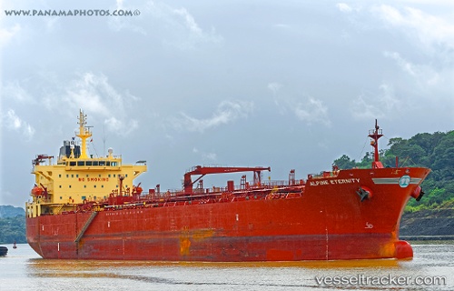
 JIN HUI
Current Status
Where is the vessel?
JIN HUI is currently in 12 nm SW of Mesta Hiou, based on AIS data received about 1h ago.
Latest AIS update:
Current position: 38.13003° N, 25.76510° E (12 nm SW of Mesta Hiou)
Average speed (last 7 days): Loading…
Average speed (last 30 days): Loading…
Vessel profile: JIN HUI is a Oil/Chemical Tanker with dimensions m x m.
This page combines live AIS, route history, probable destination signals, nearby traffic, and port activity for practical vessel monitoring.
The current position of vessel JIN HUI is 38.13003 lat / 25.76510 lng. Updated: 2026-04-09 15:25:08 UTCNearest reference points:
- 13 nm NW of Karkinagri Ikarias
- Near CESME
- Near MYKONOS OLD PORT
Currently sailing under the flag of Syria ![]()
Details:
Live Vessel JIN HUI Analytics (details, animations, etc.)
Recent AIS points (UTC):
2026-04-09 09:57:48 UTC · 37.11083, 26.10228 · SOG 12.3 kn · COG 334°2026-04-09 11:40:09 UTC · 37.40714, 25.90329 · SOG 11.7 kn · COG 329°
2026-04-09 14:08:59 UTC · 37.88692, 25.80247 · SOG 11.3 kn · COG 355°
2026-04-09 15:25:08 UTC · 38.13003, 25.76510 · SOG 11.2 kn · COG 355°