 vesseltracker.com
 QUAY STAR
Current Status
Where is the vessel?
QUAY STAR is currently in 48 nm NE of PENGERANG, based on AIS data received less than 1h ago.
Latest AIS update:
Current position: 1.89168° N, 104.74139° E (48 nm NE of PENGERANG)
Average speed (last 7 days): Loading…
Average speed (last 30 days): Loading…
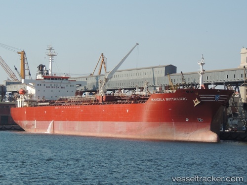
Vessel profile: QUAY STAR is a Chemical/Oil Products Tanker with dimensions 31m x 176m.
This page combines live AIS, route history, probable destination signals, nearby traffic, and port activity for practical vessel monitoring.
The current position of vessel QUAY STAR is 1.89168 lat / 104.74139 lng. Updated: 2026-04-15 21:23:03 UTCNearest reference points:
- 45 nm NE of PENGERANG
- 51 nm NE of PENGERANG
- 53 nm NE of PENGERANG
Currently sailing under the flag of Hong Kong, China ![]()
QUAY STAR built in 2002 year
Deadweight:
40166 tDetails:
Live Vessel QUAY STAR Analytics (details, animations, etc.)
Recent AIS points (UTC):
2026-04-15 15:26:01 UTC · 1.89198, 104.74250 · SOG 0.1 kn · COG 191°2026-04-15 18:10:04 UTC · 1.89198, 104.74237 · SOG 0.1 kn · COG -1°
2026-04-15 19:51:02 UTC · 1.89191, 104.74184 · SOG 0 kn · COG 168°
2026-04-15 21:23:03 UTC · 1.89168, 104.74139 · SOG 0 kn · COG 147°